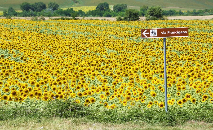
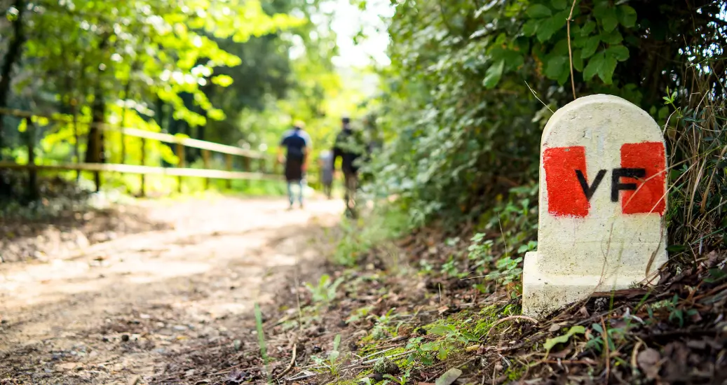
The Via Francigena is one of the world’s most extensive pilgrimages, extending from Canterbury in the south of England through France, Switzerland, and Italy into Rome. They say “a picture paints a thousand words”, and looking at the Via Francigena map this is an even more impressive route than the list of countries it passes through suggests. Crossing the English Channel, rolling French countryside, the mighty Swiss Alps, and moving down the Italian Peninsula into the ‘Eternal City’, this is a truly unforgettable walking route.
We’re going to dive into the Via Francigena route and the map of this pilgrimage to give you an idea of the varied landscape, different cultures, and authentic adventures that await you.
Writing the Via Francigena map
The origins of the Via Francigena lie in ancient cobblestone roads for trade built by the Romans to traverse the length of Italy. As time passed, people continued to use the remains of these roads as they fell apart in going between major Italian cities and beyond. Certain segments of this network remained in better condition than others, but it was impossible to trace the exact route of these roads by the time of the early Middle Ages.

As the practice of pilgrimage grew in importance over time, the Via Francigena became an important axis for pilgrims. This included those travelling from the north and west of Europe to Rome and on to ports bound for the Holy Land, and Italian pilgrims heading up the peninsula walking to the Cathedral in Santiago de Compostela.
The Via Francigena was first formalised in the 10th Century by the Archbishop of Canterbury, Sigeric the Serious, after travelling to Rome to be ordained a Cardinal by Pope John XV. On the way back to England, he noted the 80 mansions he stayed in along the way in a manuscript historians now consider the most authoritative source on the pilgrimage route. These notes formed the basis for constructing today’s map of the Via Francigena.
Although the stops along the modern Via Francigena don’t necessarily reflect exactly where the original 80 mansions were, the route used nowadays is a close approximation of this historic way.
Stops on the Via Francigena route’s map
The modern Via Francigena pilgrimage map includes 16 stops between the south of England and the ‘Eternal City’ and Italy’s capital.

1) From Canterbury to Wisques
The first section of the Via Francigena sees pilgrims start at Canterbury Cathedral and walk through quintessentially English countryside. When you arrive at the coast, pilgrims cross on the ferry from Dover to Calais, a unique experience for European pilgrimages, before continuing through charming farmlands in the lush north-west of France. This section ends in the small town of Wisques.
This opener of the Via Francigena covers 170km in 6 walking days, and is very flat and easy.

2) From Wisques to Arras
Heading south through the Pas-de-Calais region of northern France, this part of the Via Francigena map isn’t just rich in pilgrimage history: it also has huge historical importance from World War I and World War II. Passing through peaceful French farming villages, it is hard to believe so much history has left its mark on such an idyllic area.
The second section of the Via Francigena is just under 100km, with the walk taking 5 days. Looking at the Via Francigena’s elevation map, this is one of the flattest and easiest parts.

3) From Arras to Laon
The third section of the Via Francigena will continue your tour through pilgrim and World War history as you pass the famous region of the Somme. Much of the tranquil woodland and farms around here were devastated by the World Wars, so you will have many opportunities to visit memorials and cemeteries along the way while experiencing good French hospitality.
Going from Arras to Laon is 137km in 7 walking days, with the trails flat and unchallenging.

4) From Laon to Reims
This route takes you over rolling hills with stops at various small villages across the Champagne region. At every stop you will have the opportunity to try the local produce, such as Reims ham. However, most importantly you will be in the home of the uniquely regional sparkling drink known the world over: Champagne.
With only five walking days, this part of the Via Francigena covers 66km of gentle, flat trails.

5) From Reims to Bar-sur-Aube
The fifth section of Via Francigena passes by the Cathedral in Reims, the famous Canals of Chalons, and the Napoleon Museum in the town of Brienne le Chateau. Napoleonic history is particularly notable in this part of the route, with the intersection between pilgrimage history and the time of the French general-cum-emperor fascinating.
Pilgrims will travel 166km in 6 walking days on flat countryside roads and woodland paths.

6) From Bar-sur-Aube to Besançon
As you move closer to the border of Switzerland, you will notice the architecture and gastronomy begin to change as you move away from the lowlands towards the mountains.
Towards the start of the tour, there is a chance to visit the Clairvaux Abbey where Victor Hugo was inspired to write his most famous piece of literature, the novel Les Misérables.
This part of the Via Francigena is 177km over 10 walking days, with small hills and valleys.

7) From Besançon to Lausanne
On this part of the Via Francigena you will pass from France over the border to Switzerland, through Alpine villages where pilgrims can sample wines and food typical of the mountains. Admire French towns, such as Lods, and Swiss towns, such as Sainte Croix, and marvel at the shared culture and architecture of a region not defined by its current national borders.
On this section, pilgrims cover 120km in a week of walking days. This also marks the first major point of note on the Via Francigena elevation map, with hills up to 1,000m to scale.

8) From Lausanne to Bourg-Saint-Pierre
Travelling through Switzerland and alongside the shore of Lake Geneva, pilgrims will, for the first time, hike through Alpine terrain. Some of the highlights of this part of the Via Francigena include the Olympic Museum in Lausanne, the ascension up the Pennine Alps, with the final stop at the gateway to Italy in the town of Bourg-St-Pierre.
This covers 111km in 6 walking days. The walk up the Pennine Alps is steady and ultimately not too challenging for anyone of moderate fitness.

9) From Bourg-Saint-Pierre to Vercelli
Using the famous St Bernard Pass between Mont Blanc and Monte Rosa, pilgrims will leave Switzerland and cross into Italy. This route traverses the Aosta Valley, which is well-known for its spectacular scenery, outstanding food, and more than 20 varieties of locally produced wines. The tour ends in the city of Vercelli, which is known as Europe’s rice capital.
This is one of the longer sections, clocking in at 185km and 10 days. The descent from Bourg-Saint-Pierre in the first two days can be tough, but after that the path is mostly flat.

10) From Vercelli to Piacenza
This is an easier, more relaxed walk than the previous section. Pilgrims pass the Church of San Croce in Mortara, which contains a cast of the footprint of Jesus Christ. This part of the Via Francigena walk consists mostly of travelling along roadsides and across numerous dirt tracks through fields typical of this farming region.
The tenth part of the Via Francigena lasts 8 days and 148km over very flat, paved trails.

11) From Piacenza to Aulla
This is perhaps one of the more challenging stretches of the Via Francigena. Pilgrims can enjoy rolling hills, scenic woods, and weathered roads between Piacenza and Aulla, and be exposed to a rich cultural history that defines this part of the north of Italy distinctly.
In a week and 174km, hikers will scale to heights of up to 1,200m around Berceto.

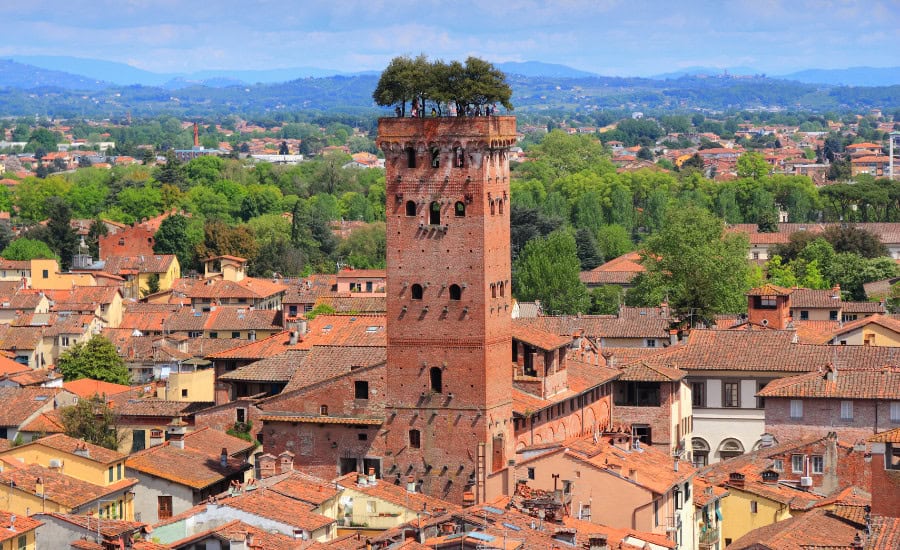
12) From Aulla to Lucca
Beginning in Aulla, the twelfth section of Via Francigena boasts spectacular sights such as the Abbey of Peter and the Church of Michael, the Cathedral of St Francis, and an interesting archaeological site at the city of Luni. The final destination of this section, Lucca, is a famous Tuscan city with well-preserved Renaissance walls encircling its historic centre.
This route is very easy-going, with pilgrims covering 50km of flat road in just 5 walking days.

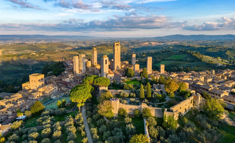
13) From Lucca to Siena
Looking at the Via Francigena map in Tuscany, this section extends across the heart of the iconic region. Throughout the route, pilgrims will be surrounded by beautiful fields, lush woods and streams in the stunning countryside. This is the essence of Tuscany in one walk. The end point of this segment of the Via Francigena, is well worth an extra night’s stay.
Pilgrims will cross very low, easy hills in 131km of hiking and 6 days of walking.

14) From Siena to Acquapendente
Beginning in the city of Siena (with its stunning black-and-white striped cathedral an architectural marvel), highlights of this section of the Via Francigena route include the Castello Bibbiano in Buonconvento, the Palazzo Chigi in San Quirico d’Orcia, and Torre Alfina in the city of Acquapendente. These are all must-dos in Tuscany.
Over 115km and 6 walking days, this route is mostly on paved paths but has some steep sections around Radicofani towards the end of this segment that make it an interesting way.

15) From Acquapendente to Viterbo
After crossing from Tuscany, you can now enjoy the little-visited (outside Rome) region of Lazio on foot. At every stop, you can enjoy the unique local wine, cuisine, and rich cultural practices of towns that may differ greatly over a matter of mere kilometres. This part of the Francigena ends in Viterbo, home of the Papal Palace and capital of the province.
This tour is only 3 walking days over 58km, allowing you to experience the beauty of Italy at a more leisurely pace.

16) From Viterbo to Rome
The final 100km(+) of the Via Francigena! This walk takes you from the charming city of Viterbo through the Italian countryside to the urban outskirts of Rome and then into the very heart of Christianity. Standing in the Vatican City after your walk feels incredible. One section on the Via Francigena map may not seem like much, but the experience is worth everything!
The last section of the Via Francigena runs along 110km of country trails turning into urban roads, with hardly any hills to navigate. This route will take just 5 walking days to complete.
Feeling inspired to see the map of the Via Francigena come to life? Our expert team can help you to build a custom pilgrimage itinerary along this legendary route.