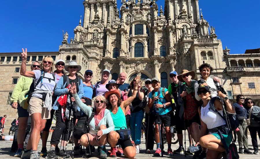
If you are going to walk the Camino de Santiago later this year, or even next year, it is never too early to start training. The fitter and stronger you are before you tackle the Camino, the easier it will be. Plenty of our clients are based overseas, so we’ve put together some suggested walks that you can do where you are. These are just a few of our favourite ones are in the USA!
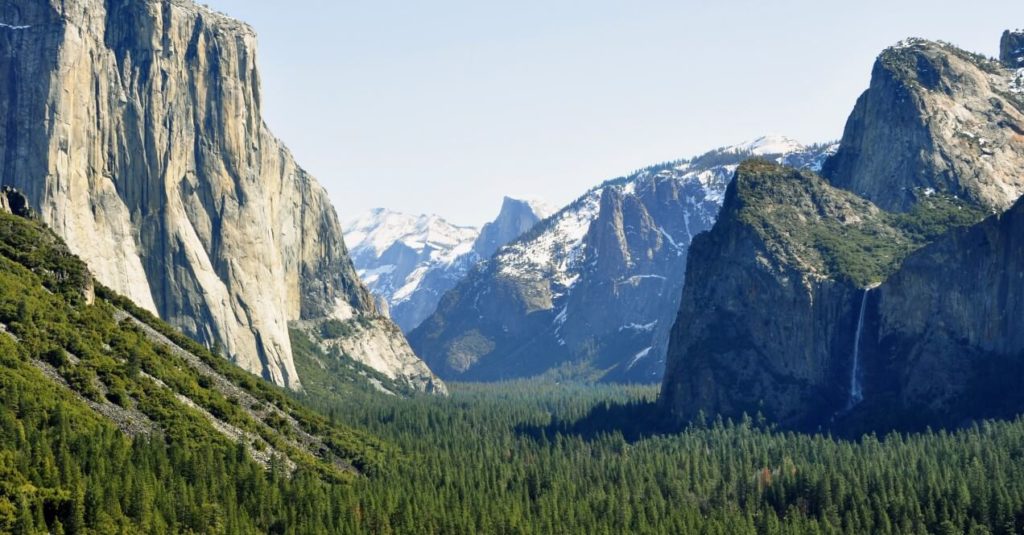
Camino Training Walks in California
California is an excellent state for getting outdoors with so many parks and natural spaces to explore. It is no wonder that so many Californians choose to walk the Camino with us!
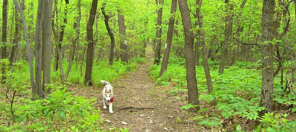
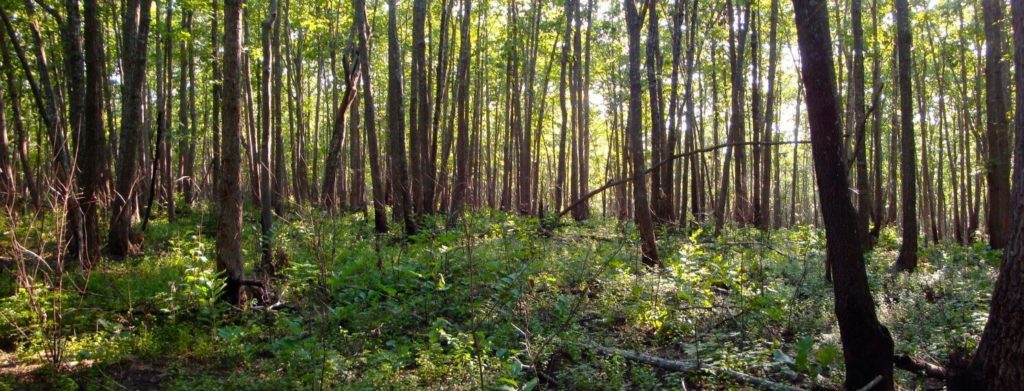
Here are some in New York
Whether you are in the city or the country – New York has an excellent array of places to go walking. get your walking shoes on and find your own private slice of nature away from the crowds.
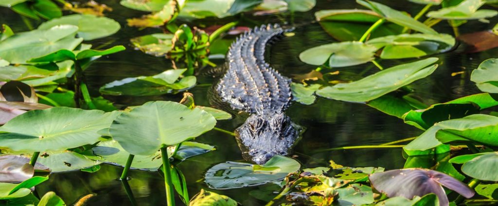
And Florida
If you are looking for interesting and unique Camino training walks in the USA – pop over to Florida. There are hills, mountains, flatlands, and everything in between.
Texas has plenty of walks too
You’ll probably need to pull on a sun hat for some of the training walks you’ll find in Texas, but it is absolutely worth it!
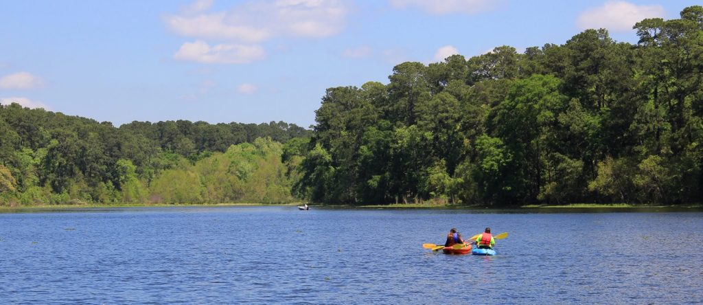
Did you know that the Texas Gulf Coast Chapter of the American Pilgrims Association sometimes offers guided training walks?
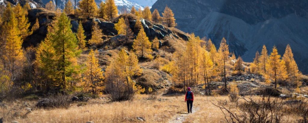
And there are loads in every other state as well!
We wish we could write about every State in the US of A, but that would take a lifetime! Here are just a couple more of our favourites for you to consider without leaving the country –
These are all just a few suggestions that we have heard of, there are plenty more that we haven’t! Look up your local Camino groups and Pilgrimage organisations for more recommendations.
We would love to see pictures of all your amazing training adventures at home, so tag us online when you share your stories! #FollowTheCamino
Happy training!